This is a stage of great contrasts and one that for a large part follows, again, the Pennine Way. It starts in the South Tyne valley, crosses the Pennines just below its highest point Cross Fell and then descends into the Eden valley.
The path starts almost immediately after leaving Alston with a delightful section by, or close to, the South Tyne as far as Garrigill. From here there is a steady climb on an excellent track, walled at the start, up to the shoulder of Cross Fell. It passes the mountain bothy of Greg’s Hut – an excellent lunch spot. The path down, sadly, is not of the same quality being wet and, in mist, difficult to follow at the start but improves greatly as a distant vista of the Lakeland Fells presents itself.
From Kirkland the route crosses farmland to reach Crowdundle Beck which at the time of writing lacks a footbridge. Until the latest one to be swept away by floods is replaced, the beck must be forded (New bridge built Summer 2010). Not far away is Milburn with its large green and towering maypole.
South Tynedale
l to r Great Dun Fell, Little Dun Fell & Cross Fell
Greg's Hut - now a mountain bothy
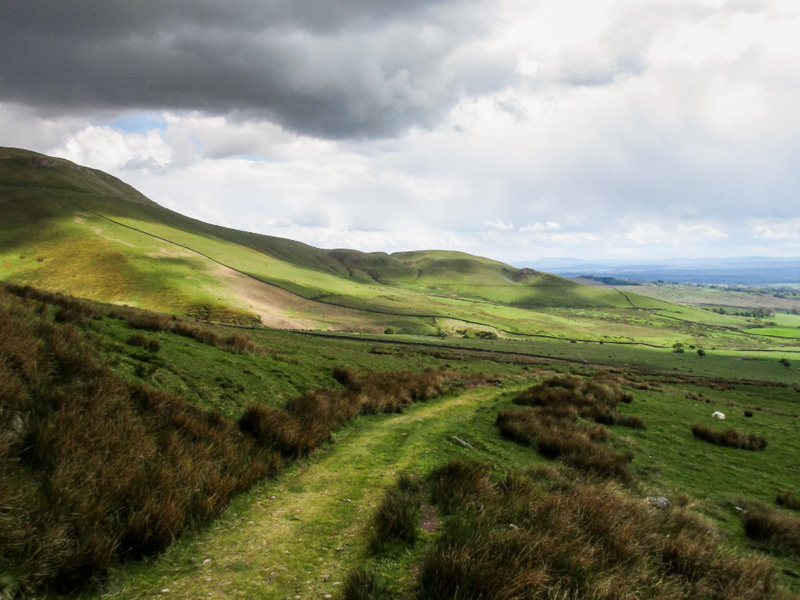
Trail leading into the Eden Valley
Day 11
Day 13
thank you for contacting
penninejourney.org.uk
We will respond to your message as soon as we can.
In the meantime, why not browse more of the site and plan your perfect Pennine Journey walk?